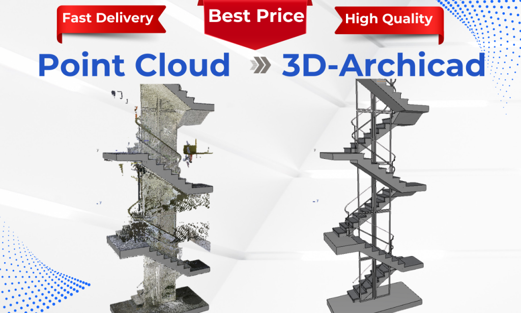
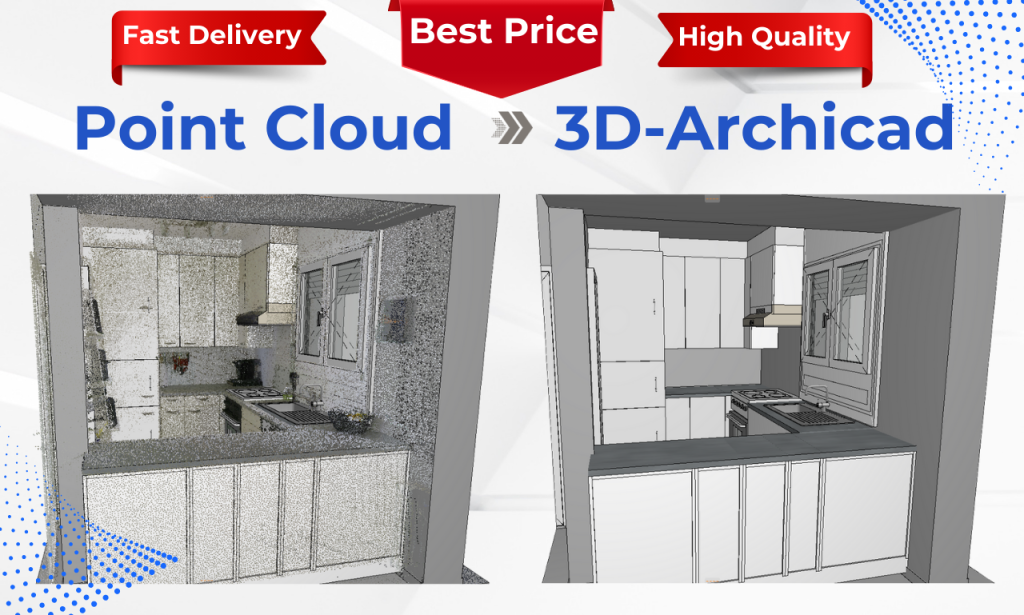
Services · Point Cloud to BIM
Point Cloud to3D Archicad.
We turn laser-scan point clouds into accurate, well-structured Archicad models and drawings — ready for renovation, design and facility management.
Project 01 · Scan-to-BIM Switzerland
Existing Building Documentation
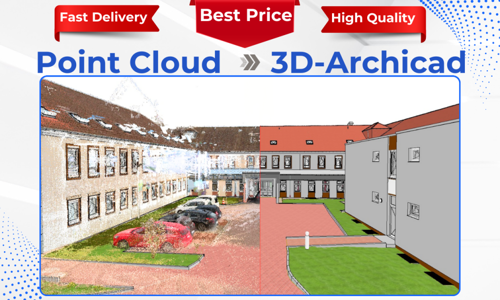
For this project in Switzerland, we collaborated with a renowned Swiss laser scanning contractor to transform high-quality point cloud data into accurate, construction-ready documentation.
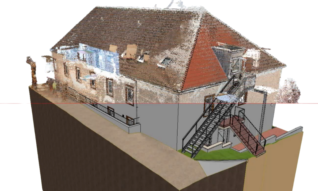
Using E57 point cloud data and 360° panoramic imagery in LGSX format, we developed a detailed 3D model in Archicad and coordinated 2D drawings representing the building’s actual as-built conditions.
The project was essential for the structural design phase, as several modifications had been made to the original design. Our updated documentation provided a reliable representation of the building’s current geometry and new architectural configurations, enabling the design team to proceed with greater confidence and giving finishing contractors a consistent reference for coordination and execution.
From reality capture to reliable BIM documentation — delivering the accuracy and clarity needed to move complex projects forward.
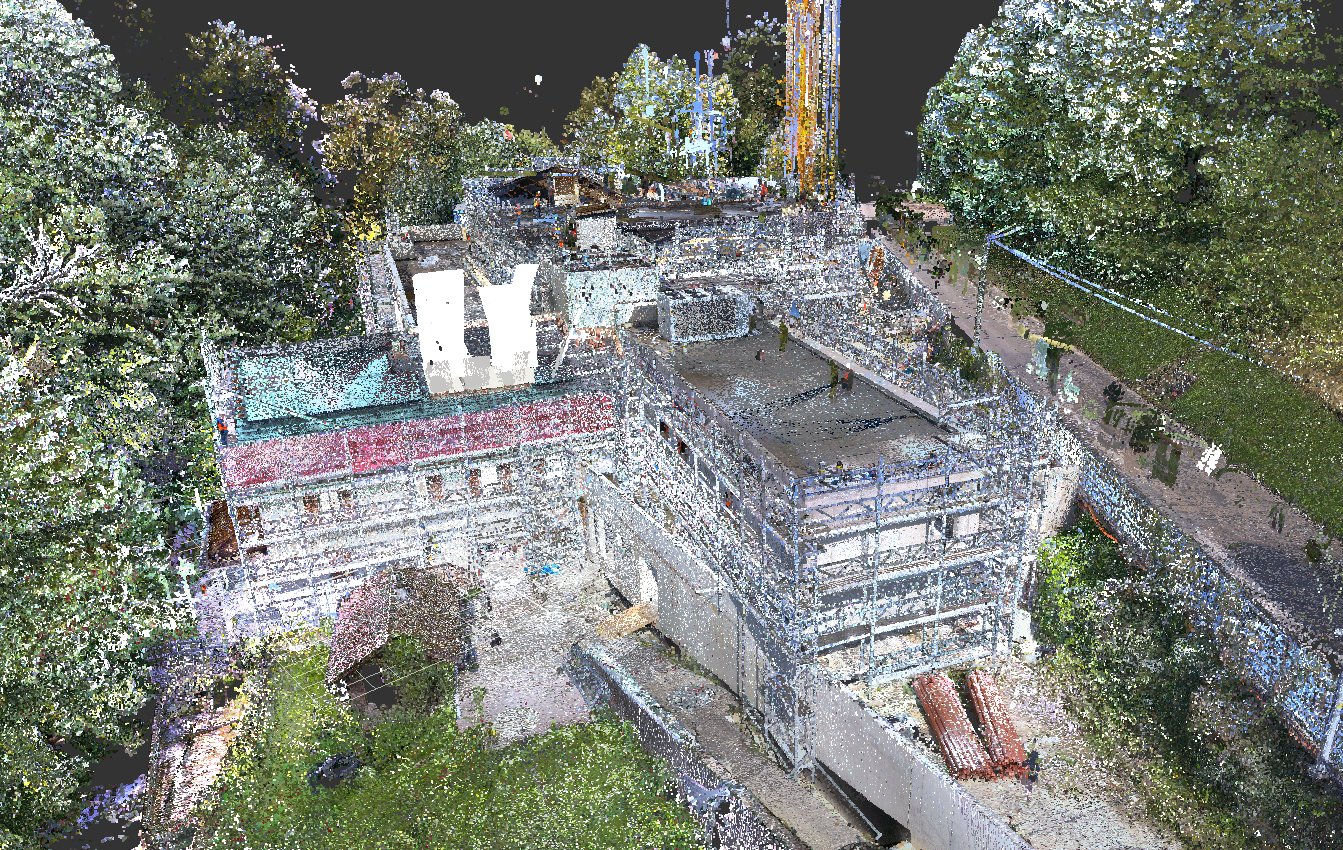
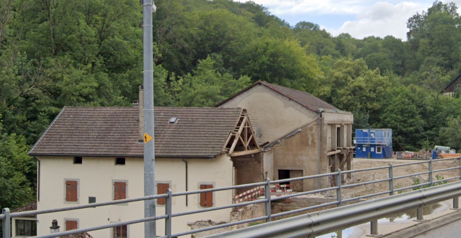
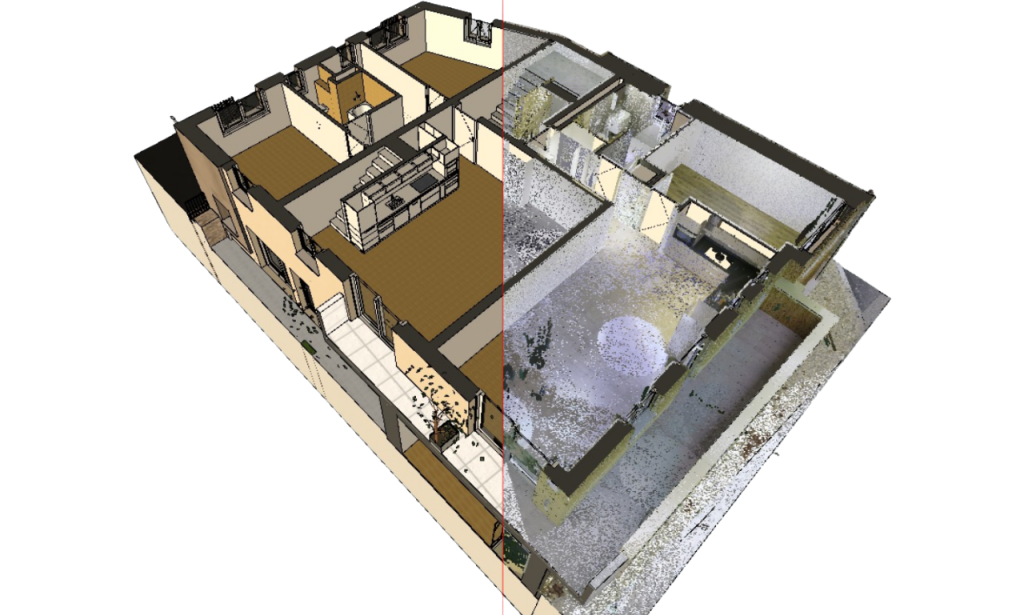
Point cloud vs. Archicad model — drag to compare
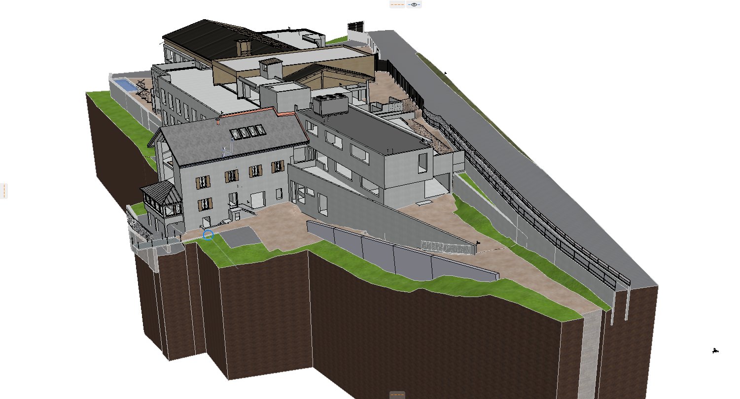
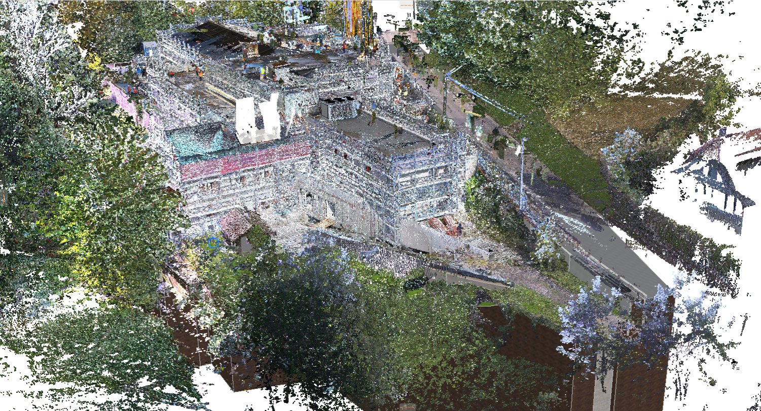 Point cloudArchicad model
2D drawings — zoom in to see the detail
Project 02 · Scan-to-BIM Italy
Existing Office Building
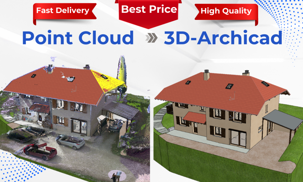
Scan-to-BIM documentation of an existing office building in Italy. Starting from point cloud data in E57 and LGSX formats, we modelled the building in Archicad at LOD 350.
From the 3D model we produced a complete set of 2D drawings in DWG format: five floor plans, a roof plan, three sections and four elevations.
One accurate Archicad model — 13 coordinated drawings generated from it.
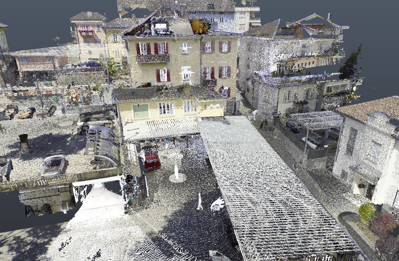
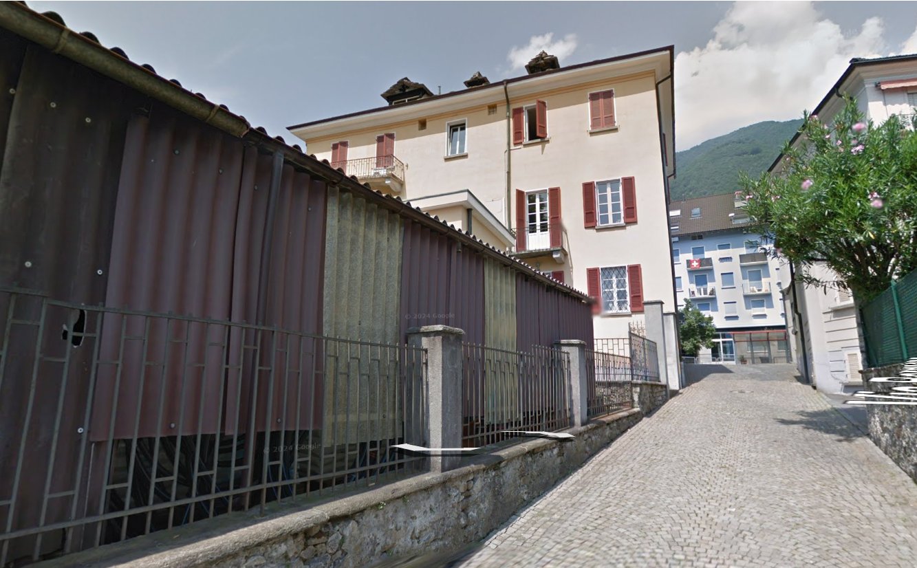
Scope of work
- 5
Floor plans
One plan for every level.
- 1
Roof plan
Full roof layout.
- 3
Sections
Building sections.
- 4
Elevations
All four façades.
Point cloud vs. Archicad model — drag to compare
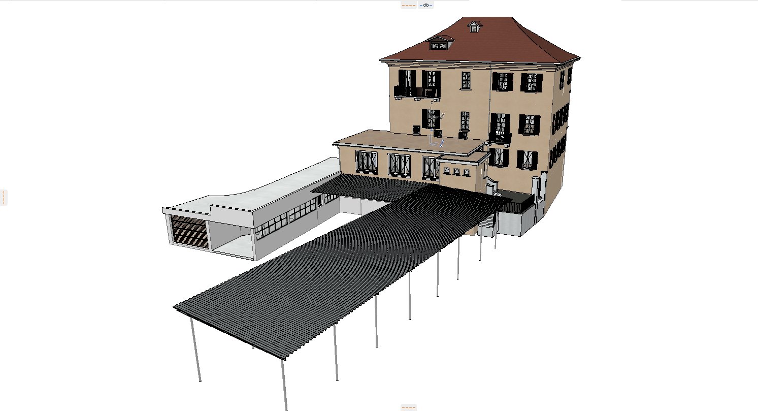
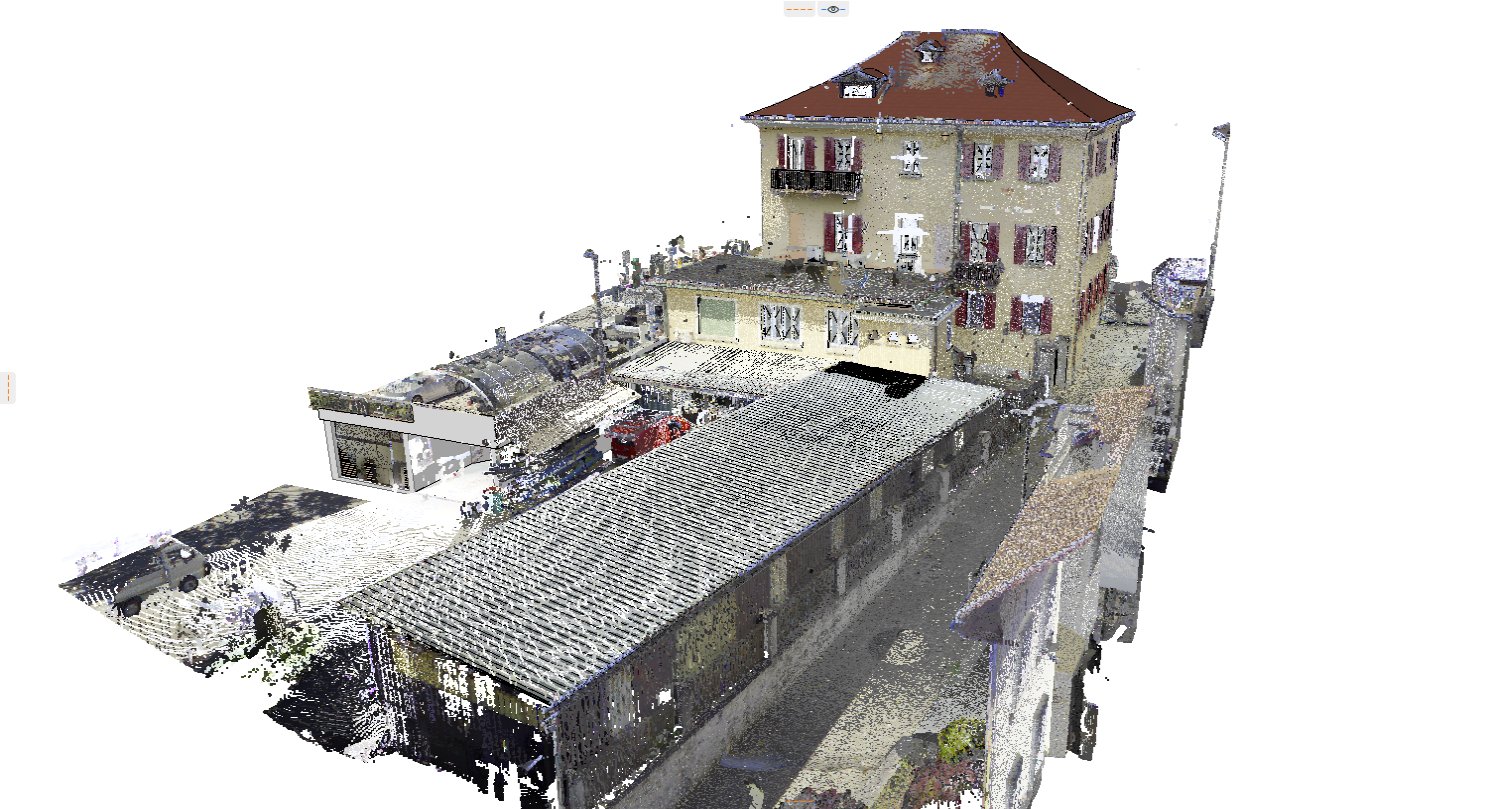 Point cloudArchicad model
2D drawings — zoom in to see the detail
Deliverables
What you receive
Every project is scoped with you first, so you get exactly the files and level of detail you need.
Point cloud formats we accept
- Archicad model (.pln) organised by stories and layers
- Floor plans, sections and elevations
- IFC export for coordination
- 2D drawings in DWG and PDF
- Terrain and site context from the scan (optional)
- Model checked against the point cloud
Workflow
How we work
- 01
Review
We check registration and density, then agree scope, LOD and deliverables.
- 02
Model in Archicad
Walls, slabs, roofs, openings, stairs and details are modelled from the scan.
- 03
Quality check
The model is compared against the point cloud before delivery.
- 04
Deliver
PLN, IFC, DWG and PDF — organised and ready to use.
Projects
Recent projects
Gallery
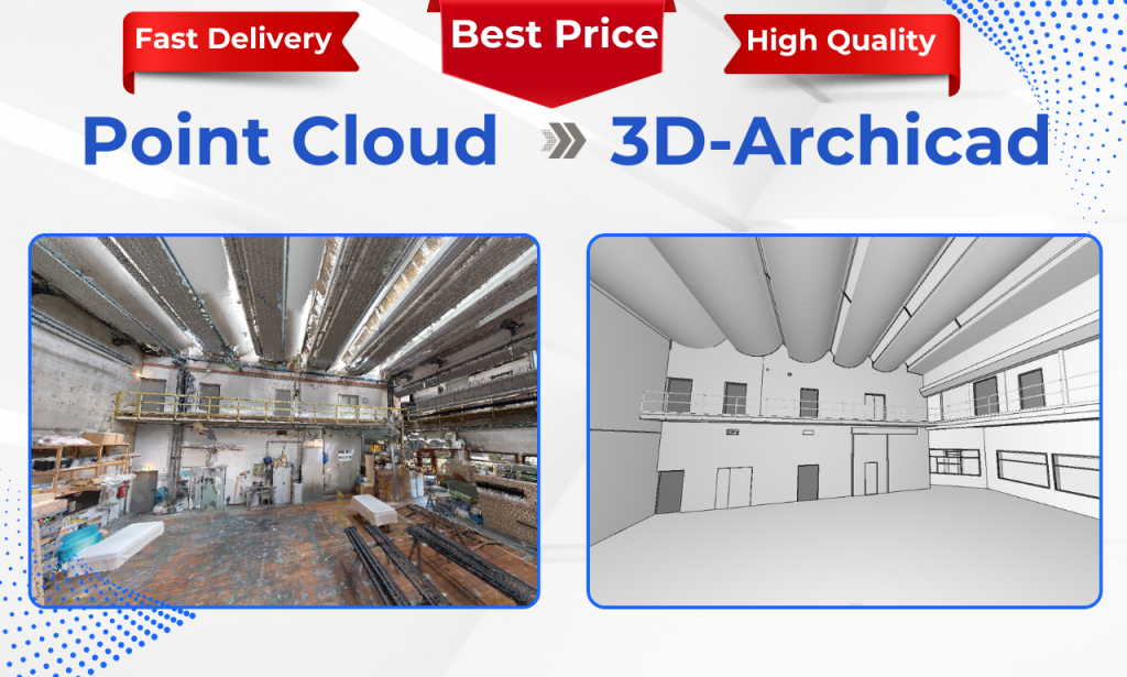
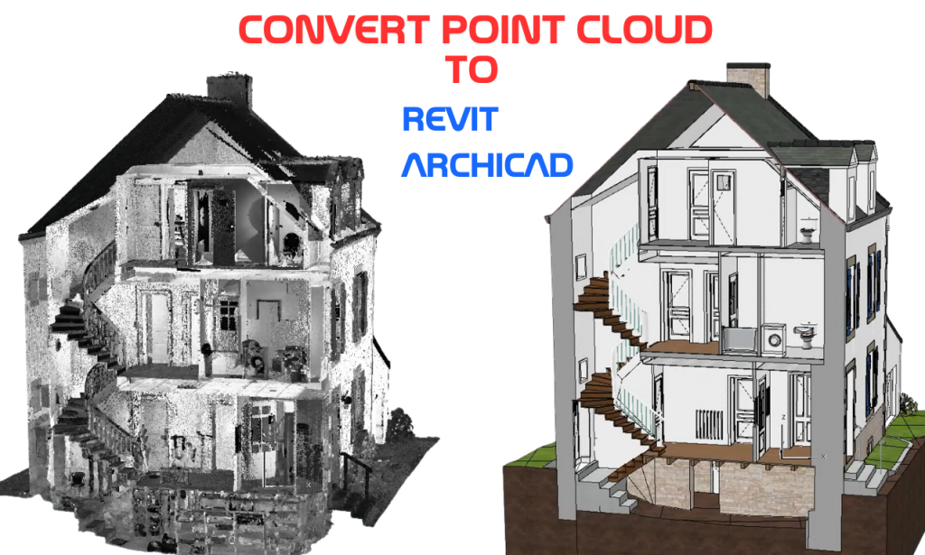
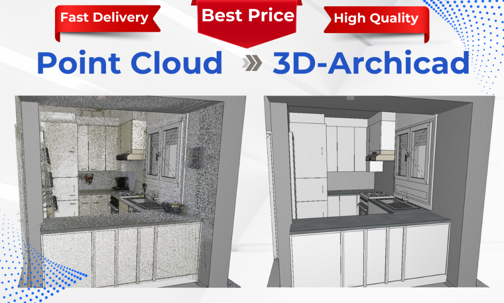
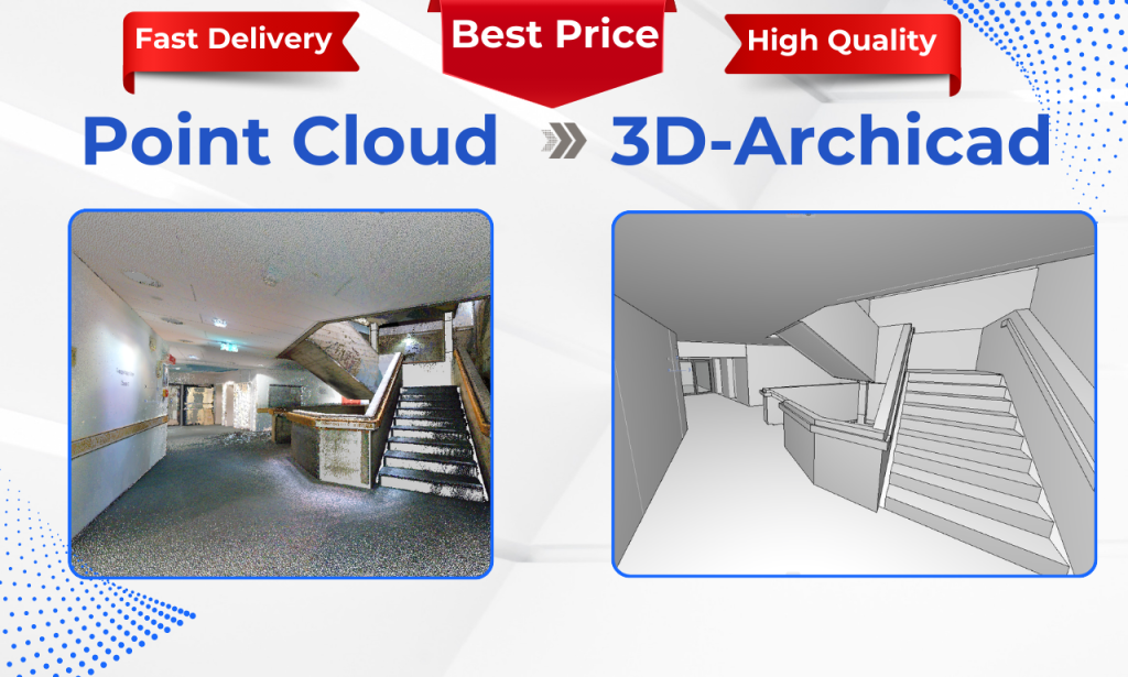
Point cloud vs. model
Click any image to view it full screen.